
National park · Gangwon
Chiaksan National Park
치악산국립공원
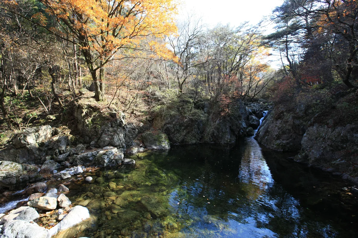
Chiaksan National Park (175.668 km²), Wonju: Birobong at 1,288 m, steep valleys, Guryongsa and Guryongso pool.
-
15 Nov – 15 Dec 2026
Autumn fire-season trail closures
The Korea National Park Service closes 148 trail sections in the national parks for the autumn wildfire season: 115 fully and 33 in part. Other trails stay open as usual. Check the closure list for your park before you set off.
Plan your visit
Set your destination before leaving Guryongsa
Guryong Valley gives you a choice between woodland and waterfall scenery, or a longer climb to Birobong. Seryeom Falls marks the change from the valley walk to the mountain ascent.
-
Woodland, a temple and a waterfall
Guryongsa to Seryeom Falls
Start at Guryong visitor support centre 구룡탐방지원센터
Follow the valley past Guryongsa and Yongso Pool towards Seryeom Falls. Pine and fir woodland form part of the approach, giving the day a clear valley destination and return point.
Official Seryeom Falls walk -
The Birobong summit
The climb beyond Seryeom Falls
Start at Guryongsa approach 구룡사
For Birobong, continue your planning beyond the valley walk. The ascent separates into the Sadaribyeongchang ridge and valley routes above Seryeom Falls; the official course describes their different terrain.
Official Guryong–Birobong course
The Wonju route below is for the Guryongsa entrance
The listed 41-2 service from Wonju Bus Terminal runs on Sundays and public holidays. Match the service day to your visit, and use Guryongsa as the arrival for the two options above.
Place details
- Region
- Gangwon
- Type of place
- National park
Getting there
Start at Wonju Bus Terminal
Entrance or stop 구룡사
- On Sundays and public holidays, take bus 41-2 from the local bus stop in front of Wonju Bus Terminal. Choose a trip serving Guryongsa (구룡사). This direct route does not operate every day.
- Get off at Guryongsa and walk about 15 minutes to the temple.
About Chiaksan National Park
Chiaksan became Korea’s 16th national park on 31 December 1984 and covers 175.668 km², with Hoengseong to the east and Wonju to the west of its main peak, Birobong (1,288 m). It was once called Jeogaksan, the red mountain, for its autumn colour.
A chain of peaks over 1,000 m runs from Birobong to Hyangnobong (1,042.9 m) and Namdaebong (1,181.5 m), with steep valleys between them that have long made the mountain known as both beautiful and hard. Guryong, Bugok and Geumdae valleys, Guryongso pool and Seryeom Falls lie among them.
Guryongsa, with its Boganglu pavilion, and Sangwonsa, with its legend of a grateful pheasant, are the best-known temples; the Yeongwon mountain fortress and the Hwangjang stone, which once forbade logging, also stand in the park.
Worth seeing
- Guryongsa 구룡사Temple with the Boganglu pavilion.
- Seryeom Falls 세렴폭포One of the park’s best-known sights.
- Birobong 비로봉The 1,288 m main peak.
Written from the Korea National Park Service park introduction.