01 / SeoulBaegundae summit trail
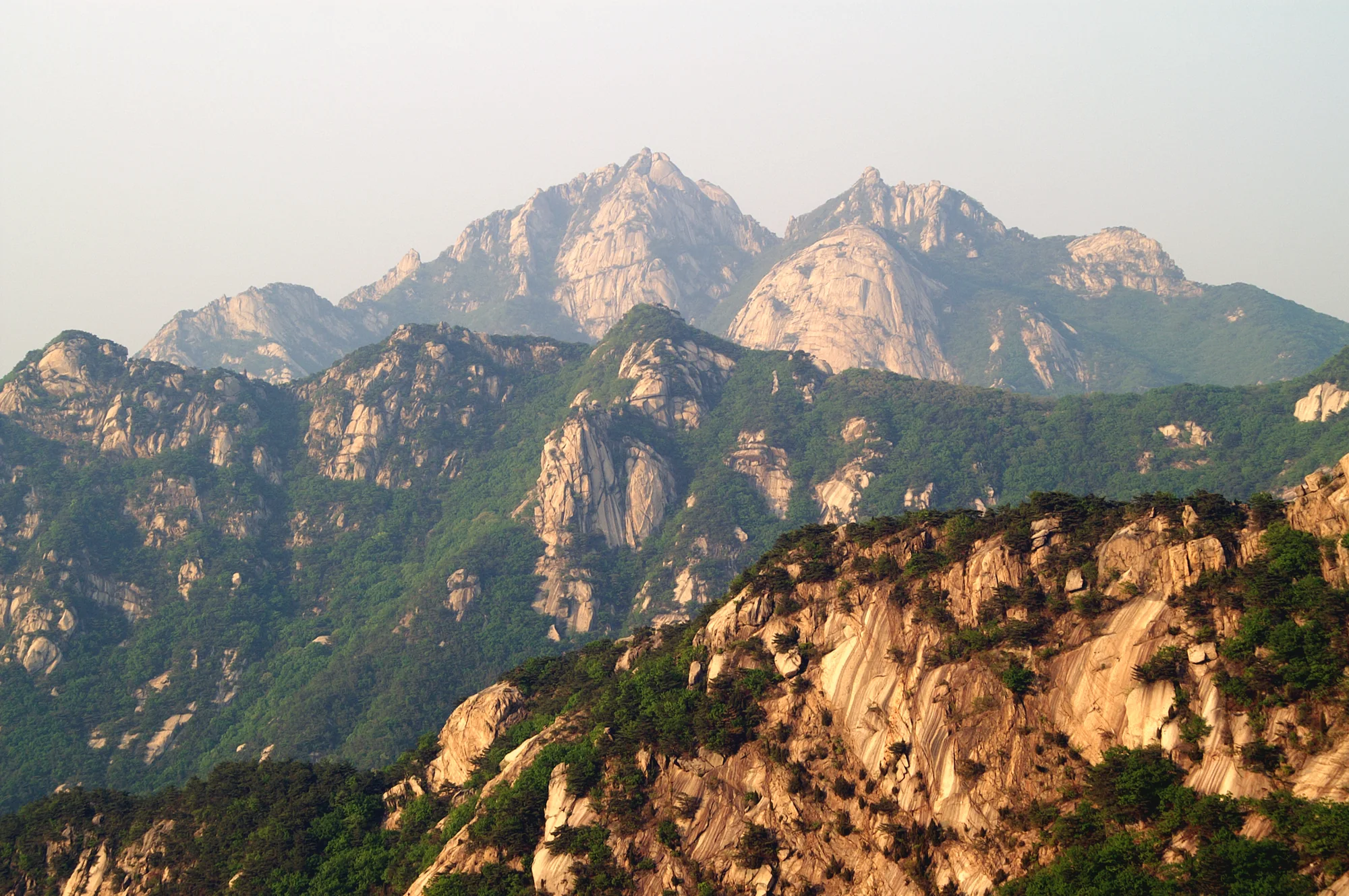
A short but steep summit approach from the Baegun Visitor Center, climbing through Harujae to Baegundae. The final rocks demand more than the distance suggests.
THE FIELD GUIDE
6 carefully sourced walks. A few very different ways to see Korea.
01 / YOUR NEXT GREAT WALK
Granite summits. City walls. A trail above the sea. Choose the landscape, then get to know the walk.
6 trails
01 / SeoulA short but steep summit approach from the Baegun Visitor Center, climbing through Harujae to Baegundae. The final rocks demand more than the distance suggests.
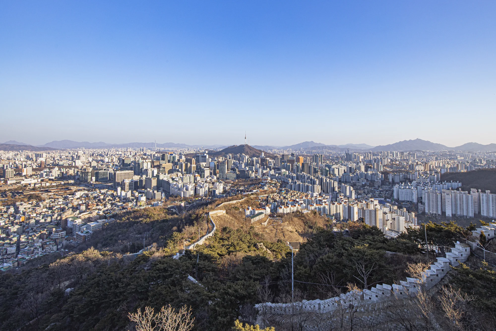
02 / SeoulFrom the former Donuimun Gate site to Changuimun, this city-wall section crosses Inwangsan’s granite summit and finishes by Yun Dongju Hill.
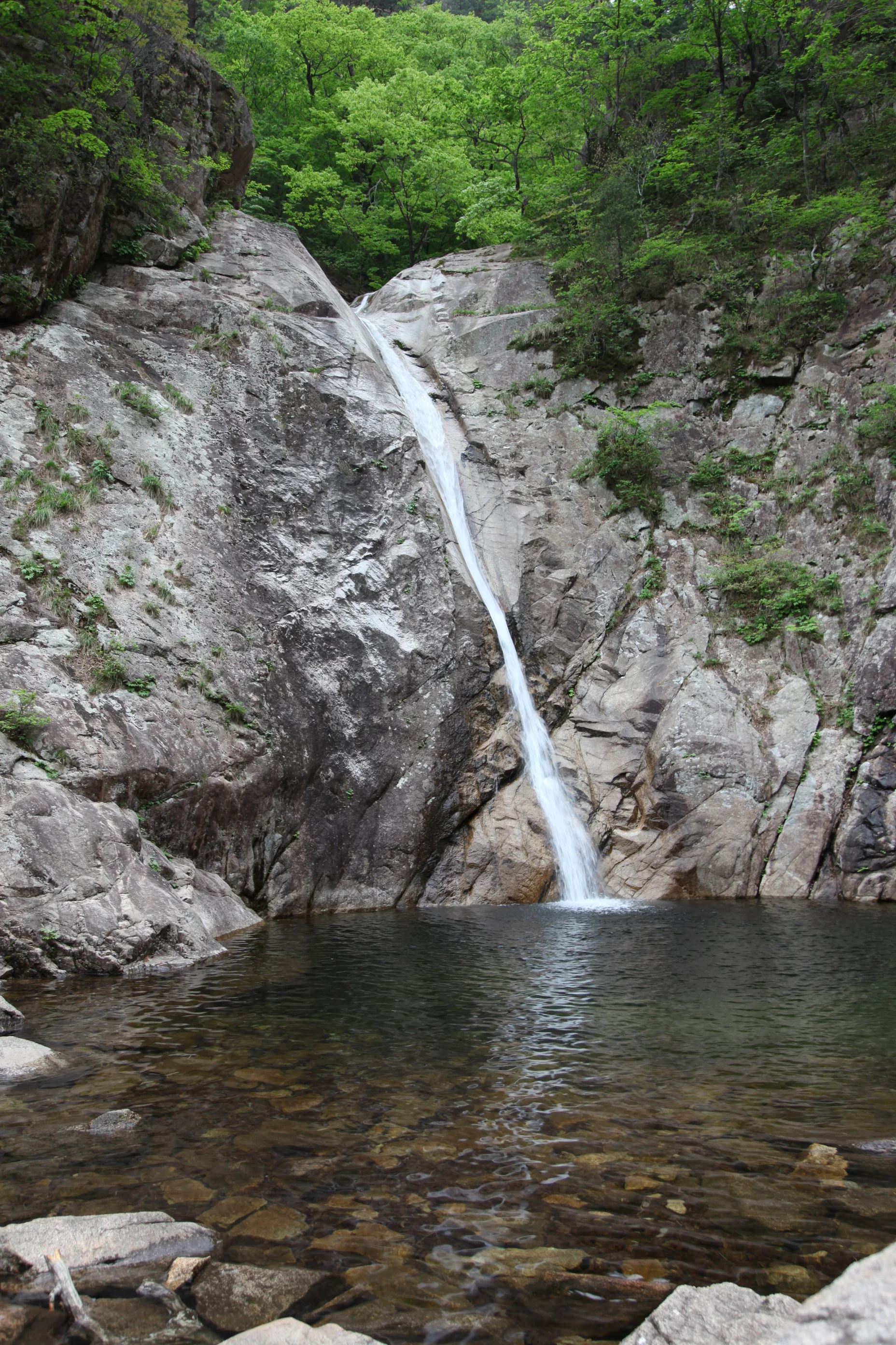
03 / GangwonA forest-and-waterfall route from Sogongwon past Yukdam and Biryong Falls. Beyond Biryong, a steep staircase reaches the Towangseong Falls viewing area.
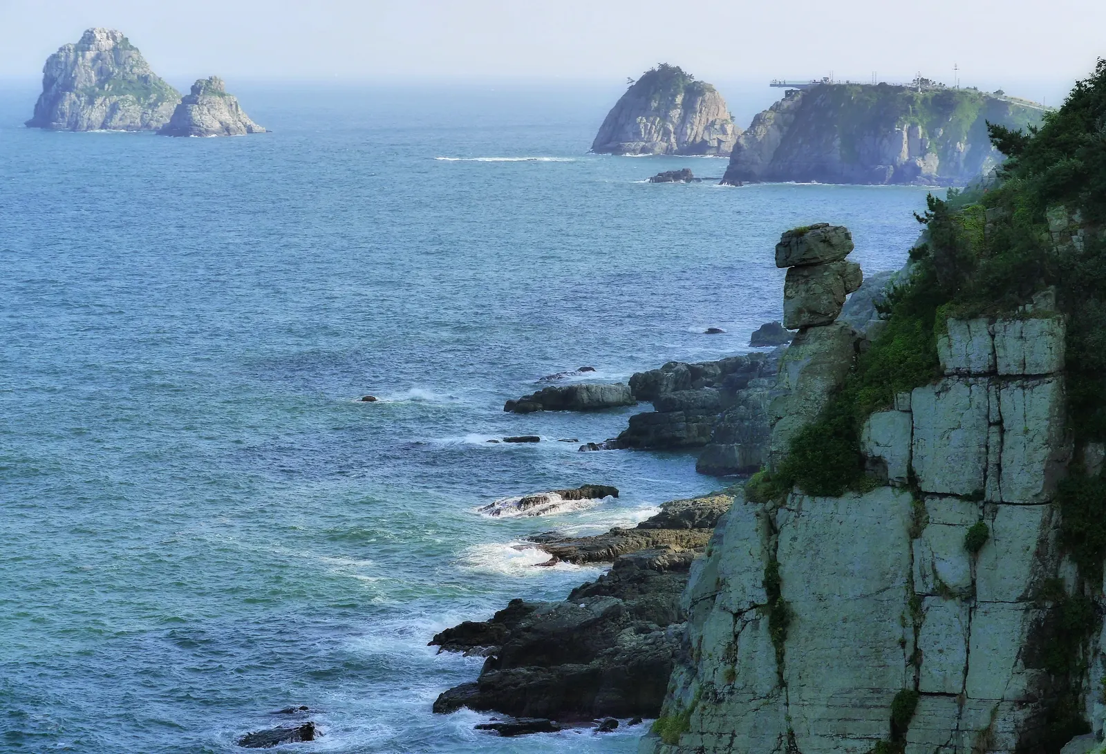
04 / BusanWalk from Dongsaengmal toward Oryukdo, with wooded slopes on one side and Busan’s rocky shore on the other. Across the water, the skyline becomes part of the view.
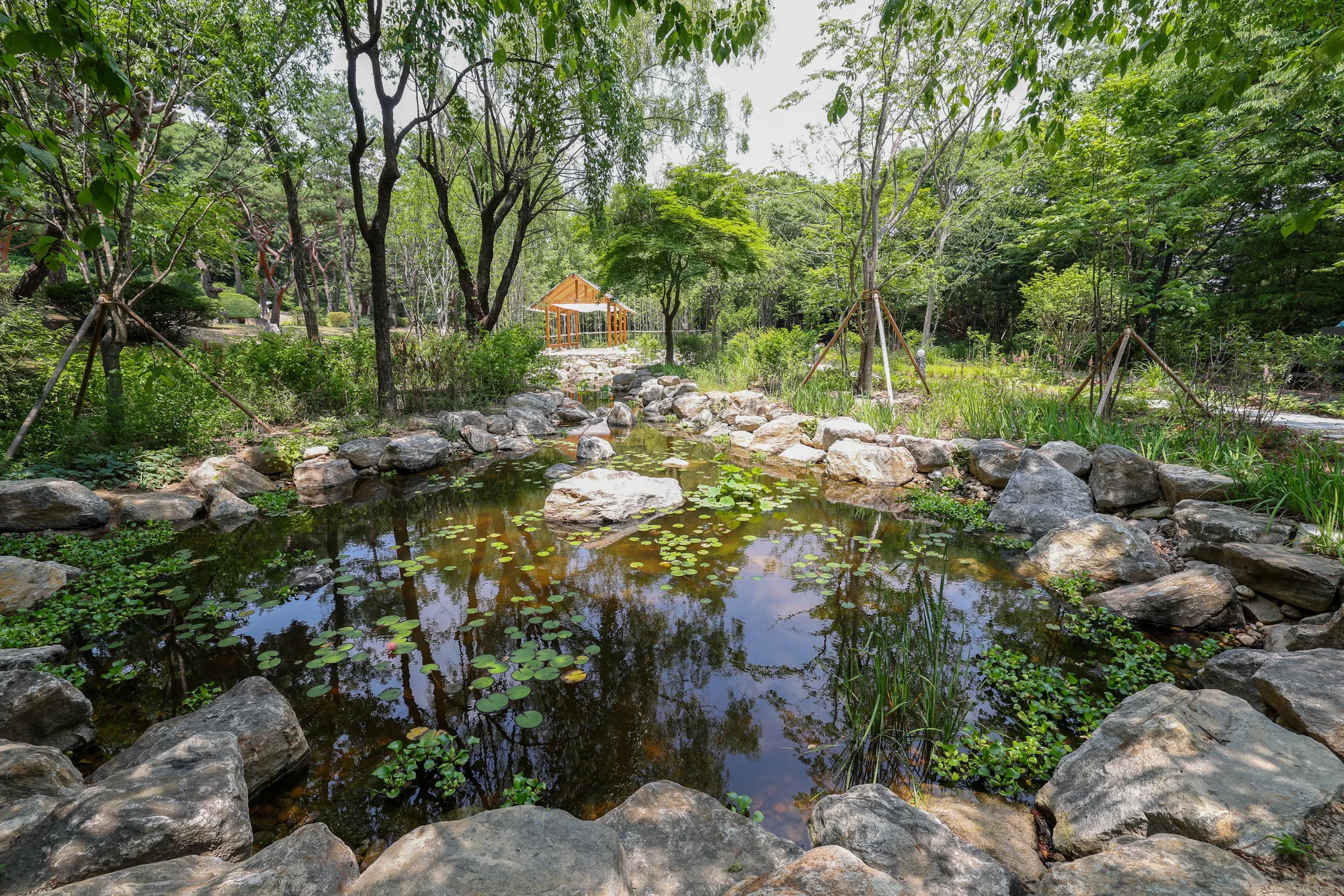
05 / SeoulA loop around Namsan joining the broad North Ringway to the narrower southern forest paths. Choose it for time among trees in the middle of Seoul.
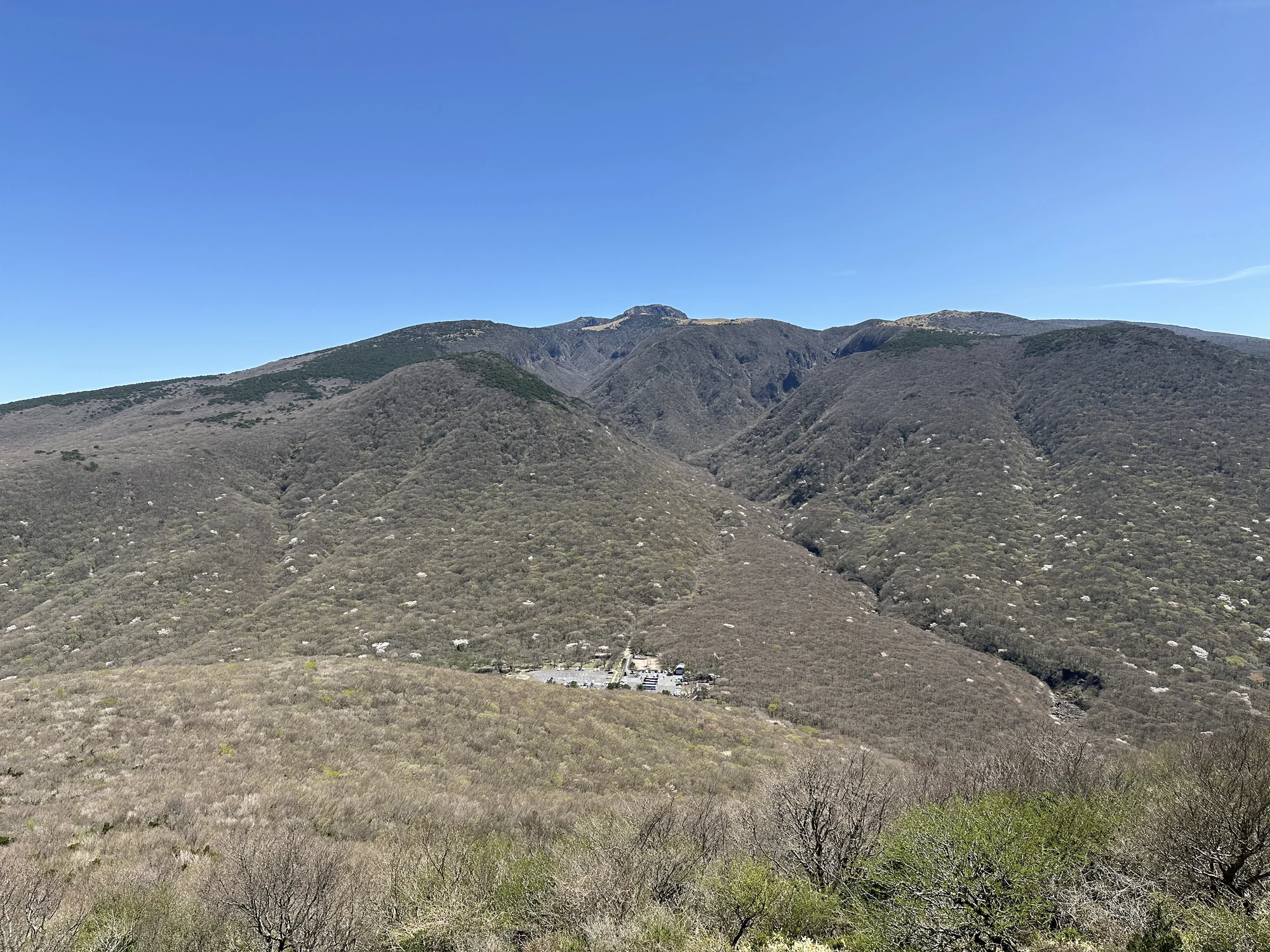
06 / JejuClimb from Eorimok to a small volcanic peak with wide island views on clear days. This short trail reaches Eoseungsaengak, not Hallasan’s Baengnokdam summit.
02 / LOOK A LITTLE CLOSER
Distance is only part of the story. Read the terrain and route direction before choosing your day outside.
1.9 km · one way
Baegun Visitor Center, near Doseonsa → Baegundae summit · return separately
Rocky ground · Stone and wooden steps · Steep final ascent · Handrail sections
Read the route details4 km · point to point
Former Donuimun Gate site → Changuimun Gate
City streets · Fortress-wall steps · Granite summit · Exposed viewpoints
Read the route details2.8 km · one way
Seoraksan Sogongwon → Towangseong Falls Observatory · return separately
Forest paths · Valley-side decks · Steep final stairs · Waterfall viewpoints
Read the route details4.7 km · point to point
Dongsaengmal → Oryukdo waterfront
Coastal path · Wooded slopes · Steps · Clifftop viewpoints
Read the route details7.5 km · full circuit
North Ringway entrance near the National Theater → Return to the same entrance
Paved North Ringway · Narrower forest paths · Changing slopes
Read the route details1.3 km · one way
Trail entrance beside Eorimok Visitor Information Center → Eoseungsaengak summit · return separately
Nature-learning trail · Uphill walking · Open summit viewpoint
Read the route detailsOfficial published routes. One-way and circuit routes are labelled separately. This is not a difficulty ranking.