
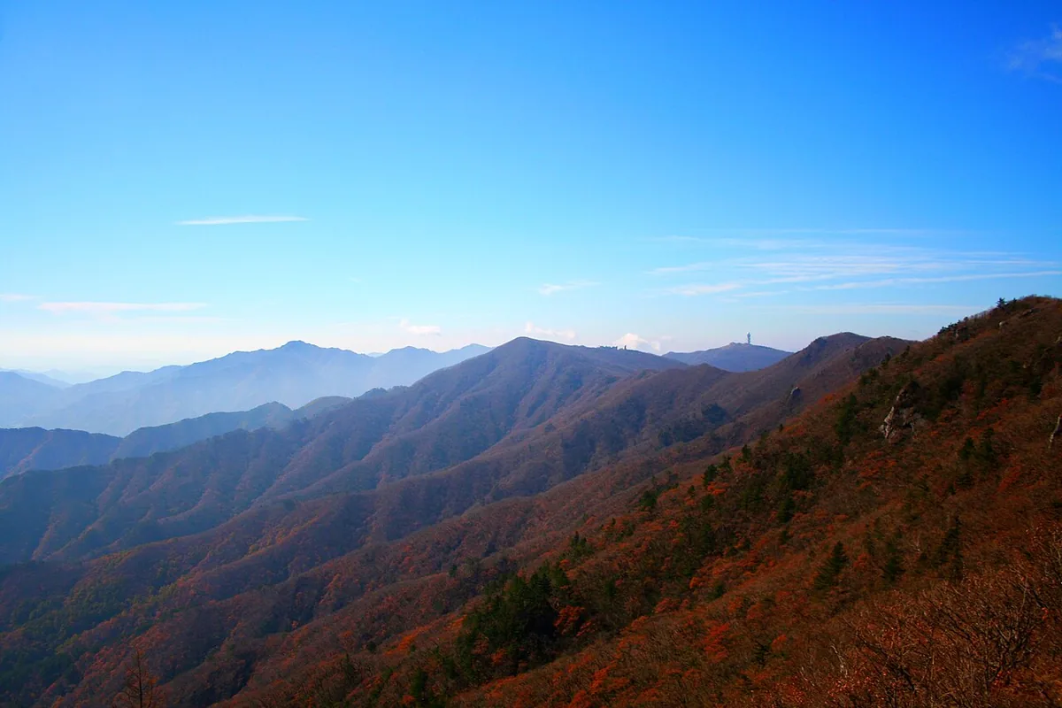
From the Samga visitor centre above Punggi, the national park’s Samga-dong route climbs past Dalbatgol and Yangban Rock to Birobong, Sobaeksan’s highest peak on a broad, grassy ridge.
The walk, at a glance.
5.5 km · one way
Out and back · outward leg shown
From Samga visitor centre
To Birobong summit · return separately
What the terrain asks of you.
- Marked national park trail
- Long climb: 5.5 km one way to the highest peak
- Broad, open grassy summit ridge
Along the way.
- 01
Samga visitor centre
The official measured trail begins here.
- 02
Dalbatgol entrance
The route passes the Dalbatgol valley settlement.
- 03
Yangban Rock
A named rock on the way up the ridge.
- 04
Birobong
Sobaeksan’s highest peak, on a broad grassy ridge. Plan your descent with enough daylight.
Getting there and back.
Public transportRoute guide
Access region: North Gyeongsang
Getting there from Yeongju (bus 26)
- Take Yeongju City bus 26, which runs from Yeongju (영주여객) via Punggi (풍기) to Samga-dong (삼가동). The city lists seven departures a day; the first and last of the day end at Baek 1-ri (백1리) instead, so check the destination shown.
- From the Samga-dong terminus, walk to the Samga visitor centre (삼가탐방지원센터). The national park’s 5.5 km starts there.
Coming back: Retrace the trail to the visitor centre and Samga-dong, and take bus 26 back towards Punggi and Yeongju. Check the departures from Samga-dong before you start: the last one leaves in the early evening.
Checked Yeongju City · bus 26 (Samga-dong) timetableKNPS · Samga-dong route start
Check the final walk and the last return service for your travel date.
Plan return trip
Directions open in Google Maps. Check local connections in the VISITKOREA route planner. Services depend on your travel date and time.
Before you set off.
- Read KNPS closure and entry-time notices before setting out; autumn and spring fire seasons close some sections.
- The park’s time is for a beginner, one way. Plan the descent and the last bus before you start.
- Stay on the designated trail; winter ice requires appropriate equipment.
These are planning notes, not a live opening report. Check the managing authority, weather and return transport immediately before your walk. Source review: 2026-11-10.
Birobong summit altitude · Korea Forest Service figure; not ascent: 1439.7 m. This is altitude above sea level, not the cumulative ascent of this route.