
National park · South Gyeongsang / North Gyeongsang
Gayasan National Park
가야산국립공원
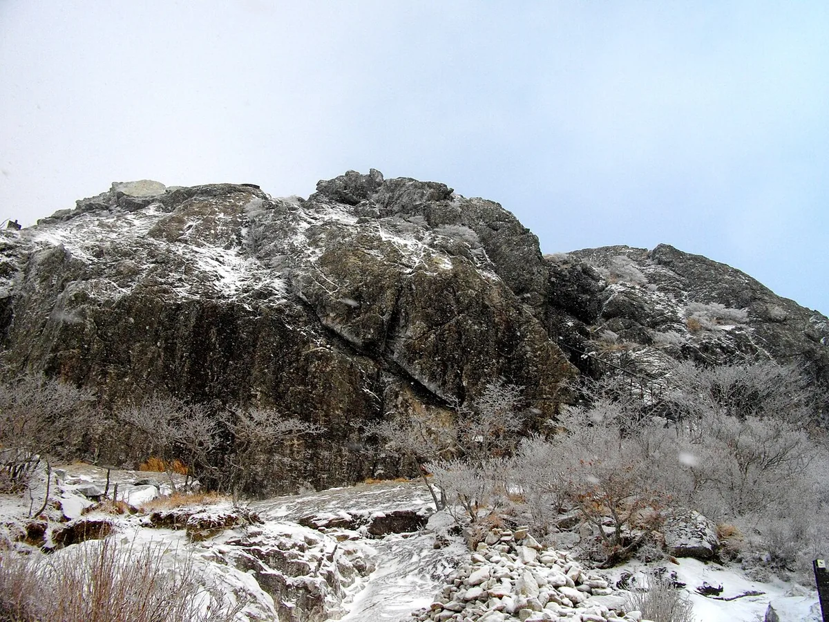
Gayasan National Park (76.256 km²): Sangwangbong at 1,430 m, Haeinsa with the Tripitaka Koreana, and the Hongnyudong valley.
-
15 Nov – 15 Dec 2026
Autumn fire-season trail closures
The Korea National Park Service closes 148 trail sections in the national parks for the autumn wildfire season: 115 fully and 33 in part. Other trails stay open as usual. Check the closure list for your park before you set off.
Plan your visit
The Haeinsa valley or the Manmulsang rocks?
Gayasan’s temple valley and its rocky mountain landscape draw visitors to different sides of the park. Match the entrance to the experience you want.
-
A wooded valley and Haeinsa
Hongnyudong Valley and Haeinsa
Start at Haeinsa Seongbo Museum stop 해인사 성보박물관
Choose the Haeinsa side for the temple approach and the Hongnyudong valley below it. The temple and its surroundings include cultural landmarks such as Nongsanjeong and Haksadae within the mountain landscape.
Getting to the Haeinsa approach -
Rock formations and a mountain climb
Manmulsang from Baegundong
Start at Baegundong visitor support centre 백운동탐방지원센터
The Manmulsang course climbs from Baegundong towards Seoseongjae through Gayasan’s rock formations. Use the official visitor page for the route and its seasonal reservation arrangements.
Manmulsang visits and reservations
The Daegu bus below serves the Haeinsa side
It departs from Daegu Seobu Intercity Bus Terminal and stops at Haeinsa Seongbo Museum, one stop before Haeinsa Bus Terminal. Baegundong is a different trailhead for the Manmulsang course.
Place details
- Region
- South Gyeongsang · North Gyeongsang
- Type of place
- National park
Getting there
Start at Daegu Seobu Intercity Bus Terminal
Entrance or stop 해인사 성보박물관
- Take the intercity bus to Haeinsa (해인사).
- Get off at Seongbo Museum (성보박물관), one stop before Haeinsa Bus Terminal. This is the museum stop on the approach to the temple.
About Gayasan National Park
Gayasan National Park covers 76.256 km² where South and North Gyeongsang meet. It was designated a historic site and scenic area in 1966 and became Korea’s ninth national park on 13 October 1972. Its highest point, Sangwangbong, also called Udusan, rises to 1,430 m.
The mountain holds Haeinsa, head temple of the Hwaeom school, which keeps the Tripitaka Koreana woodblocks; the blocks and their storage halls were listed by UNESCO in December 1995. The Hongnyudong valley below the temple was called the finest of Korea’s eight views, and the scholar Choe Chiwon, who withdrew here at the end of Silla, left his traces at Nongsanjeong and Haksadae.
The rock is Precambrian gneiss and Cretaceous Haeinsa granite; Manmulsang, Namsan Jeilbong and Yongmun Falls are its best places to see the geology.
Worth seeing
- Haeinsa 해인사Temple of the Tripitaka Koreana woodblocks, a UNESCO World Heritage site.
- Hongnyudong Valley 홍류동 계곡The stream below Haeinsa, with Nongsanjeong pavilion and Choe Chiwon’s traces.
- Manmulsang 만물상One of the park’s best places to see its geology.
Written from the Korea National Park Service park introduction.