
Mountain · Daegu / North Gyeongsang
Palgongsan
팔공산
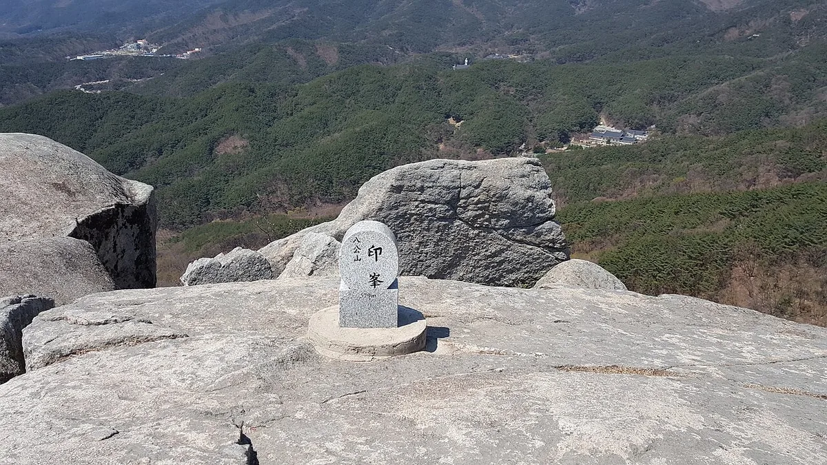
Palgongsan (1,192.3 m), Daegu: a provincial park since 1980 and a national park since 2023, wings of peaks around Birobong.
-
15 Nov – 15 Dec 2026
Autumn fire-season trail closures
The Korea National Park Service closes 148 trail sections in the national parks for the autumn wildfire season: 115 fully and 33 in part. Other trails stay open as usual. Check the closure list for your park before you set off.
Place details
- Region
- Daegu · North Gyeongsang
- Type of place
- Mountain
- Locality in the source
- 동구 · 영천시 · 칠곡군 · 경산시 · 군위군
- Summit height
- 1,192.3 m summit altitude, Korea Forest Service guide p. 374
Locate the place
Search by the Korean name and locality, then check the public entrance with the managing authority.
About Palgongsan
Palgongsan rises on the border of Daegu, Gunwi and Yeongcheon. A provincial park from 1980, it became a national park in 2023.
Its highest peak, Birobong, stands between the east and west peaks like a bird spreading its wings. The ring of ridges around it screens the north of the Daegu basin.
Legends, history and nature together give it a solemn beauty; Donghwasa temple is at the foot of the main climb.
Worth seeing
- Donghwasa 동화사A great temple at the start of the climb.
- Birobong 비로봉The highest peak, between east and west peaks.
Where the main trail starts
Donghwasa entrance 동화사 입구
A main route in the Forest Service guide begins here. Search the Korean name to plan your bus or taxi to the entrance.
Written from the Korea Forest Service guide 꼭 한번 가 볼 우리 100대 명산, p. 374.