
Mountain · Gyeonggi
Chungnyeongsan
축령산
Chukryeongsan (887.1 m), Namyangju: a nut-pine forest so thick the sky disappears, with Nami Rock on the ridge.
Place details
- Region
- Gyeonggi
- Type of place
- Mountain
- Locality in the source
- 남양주시 · 가평군
- Summit height
- 887.1 m summit altitude, Korea Forest Service guide p. 352
Getting there
One official trailhead is listed below with a public transport planner: choose a trailhead, then start from your location or a station.
Trailheads you can reach by public transport
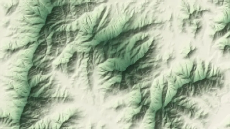
This is the official trailhead named for Chungnyeongsan, with a public transport planner to reach it. The numbers on the relief map at the top of the page match this list.
- Chungnyeongsan Recreational Forest 축령산자연휴양림
About Chungnyeongsan
Chukryeongsan stands between Namyangju and Gapyeong, a mountain of thick forest and lovely valleys. The nut-pine walk at the start of the summit trail is so dense the sky vanishes overhead.
Its 779-hectare forest holds a forest bath, campsites, a water play area and nature trails, ideal for families and a good one-day climb.
On the ridge are Nami Rock, where General Nam I is said to have trained, and Suri Rock.
Worth seeing
- Nut-pine forest 잣나무 산책로A walk under dense nut pines.
- Nami Rock 남이바위Where General Nam I is said to have trained.
Written from the Korea Forest Service guide 꼭 한번 가 볼 우리 100대 명산, p. 352.