
Mountain · South Gyeongsang
Jirisan(tongyeong)
지리산(통영)
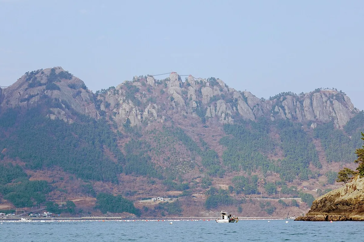
Jirisan of Saryangdo (399.3 m), Tongyeong: a rocky island ridge with old pines above the Hallyeo waterway.
Place details
- Region
- South Gyeongsang
- Type of place
- Mountain
- Locality in the source
- 통영시
- Summit height
- 399.3 m summit altitude, Korea Forest Service guide p. 324
Locate the place
Search by the Korean name and locality, then check the public entrance with the managing authority.
About Jirisan(tongyeong)
This Jirisan stands on Sangdo, Saryangdo island, in Tongyeong, a long, narrow ridge of rock running east to west with steep slopes down to the sea.
Its linked peaks — Bulmosan, Gamabong, Hyangbong, Oknyeobong — are rock worn by centuries of wind and rain. Old pines cling to the cliffs in the sea wind, and the forest folds around strange rocks along a ridge of both rock and earth.
From the ridge the islands of the Hallyeo waterway spread in every direction.
Worth seeing
- Oknyeobong 옥녀봉A rock peak on the island ridge.
- Suudo viewpoint 수우도 전망대A view west toward Suudo island.
Where the main trail starts
Saryang-myeon office 사량면사무소
A main route in the Forest Service guide begins here. Search the Korean name to plan your bus or taxi to the entrance.
Written from the Korea Forest Service guide 꼭 한번 가 볼 우리 100대 명산, p. 324.