
Mountain · Gyeonggi
Yumyeongsan
유명산
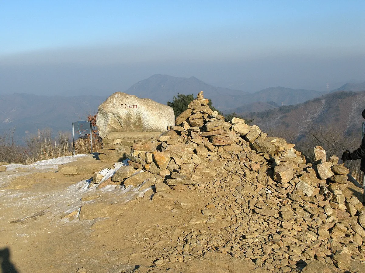
Yumyeongsan (864 m), Gapyeong: a gentle family climb with clear rock pools and a paragliding summit.
Place details
- Region
- Gyeonggi
- Type of place
- Mountain
- Locality in the source
- 가평군 · 양평군
- Summit height
- 864 m summit altitude, Korea Forest Service guide p. 282
Getting there
One official trailhead is listed below with a public transport planner: choose a trailhead, then start from your location or a station.
Trailheads you can reach by public transport
This is the official trailhead named for Yumyeongsan, with a public transport planner to reach it.
- Yumyeongsan Recreational Forest (course 1) 유명산자연휴양림 (1코스)
About Yumyeongsan
Yumyeongsan lies on the border of Gapyeong and Yangpyeong. Its ridges are gentle and soft, a good family climb under thick forest.
Its valley links glass-clear pools — Yongso, Madangso and more — over rock. From the top the North Han River and Cheongpyeong Lake lie to the north, the South Han River to the south, with Yongmunsan, Hwaaksan and Myeongjisan around.
The open, grassy summit is a popular paragliding launch; three rocks near the top are called the Three Brothers.
Worth seeing
- Valley pools 유명산 계곡Clear pools such as Yongso and Madangso.
- Three Brothers Rocks 삼형제바위Near the summit.
Written from the Korea Forest Service guide 꼭 한번 가 볼 우리 100대 명산, p. 282.