
Mountain · North Chungcheong / North Gyeongsang
Sobaeksan
소백산
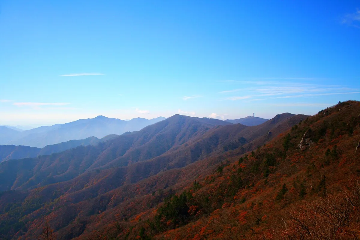
Sobaeksan (1,439.7 m): a national park of broad, gentle ridges, sea-of-cloud views and the national observatory.
-
15 Nov – 15 Dec 2026
Autumn fire-season trail closures
The Korea National Park Service closes 148 trail sections in the national parks for the autumn wildfire season: 115 fully and 33 in part. Other trails stay open as usual. Check the closure list for your park before you set off.
Place details
- Region
- North Chungcheong · North Gyeongsang
- Type of place
- Mountain
- Locality in the source
- 단양군 · 영주시
- Summit height
- 1,439.7 m summit altitude, Korea Forest Service guide p. 226
Locate the place
Search by the Korean name and locality, then check the public entrance with the managing authority.
About Sobaeksan
Sobaeksan, between Danyang and Yeongju, became a national park in 1987 for its grand but gentle ridges, natural forests, temples and waterfalls; Buseoksa and Ondal Fortress lie nearby.
Its peaks — Birobong at 1,439.7 m, Gungmangbong, the first and second Yeonhwabong, Dosolbong and more — wrap the Yeongju basin like a screen. Korea’s largest astronomical observatory stands below the second Yeonhwabong.
The rolling ridges are famous for seas of cloud.
Worth seeing
- Birobong 비로봉The highest peak, on a broad grassy ridge.
- National observatory 국립천문대Korea’s largest, below Yeonhwabong.
Where the main trail starts
Darian resort area 다리안관광지
A main route in the Forest Service guide begins here. Search the Korean name to plan your bus or taxi to the entrance.
Written from the Korea Forest Service guide 꼭 한번 가 볼 우리 100대 명산, p. 226.