
Mountain · Gangwon
Baegunsan(jeongseon)
백운산(정선)
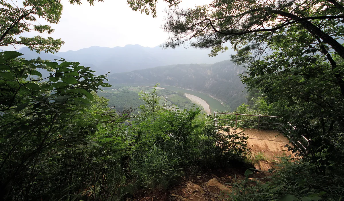
Baegunsan (883.5 m), Jeongseon: six peaks above the curving Donggang river, with sheer cliffs and pasqueflowers.
Place details
- Region
- Gangwon
- Type of place
- Mountain
- Locality in the source
- 정선군 · 평창군
- Summit height
- 883.5 m summit altitude, Korea Forest Service guide p. 188
Locate the place
Search by the Korean name and locality, then check the public entrance with the managing authority.
About Baegunsan(jeongseon)
This Baegunsan rises above the Donggang river where Jeongseon meets Pyeongchang. Six peaks line the river, and on the river side they fall in cliffs that look cut with a knife. It is part of the Gangwon Paleozoic Geopark.
The trail goes up and down from peak to peak, always above the curling river. The shortest climb, from Jeomjae bridge, is steep; the gentlest starts from Munhui village past the Baengnyong Cave centre and the Donggang pasqueflower colony.
The river views are the reason to come.
Worth seeing
- Donggang river bends 동강The river wrapping the mountain’s foot.
- Baengnyong Cave 백룡동굴A cave centre on the gentle route.
Where the main trail starts
Munhui village 문희마을
A main route in the Forest Service guide begins here. Search the Korean name to plan your bus or taxi to the entrance.
Written from the Korea Forest Service guide 꼭 한번 가 볼 우리 100대 명산, p. 188.