
Mountain · Gyeonggi / Gangwon
Baegunsan(pocheon)
백운산(포천)
Baegunsan (904.1 m), Pocheon: the 10 km Baegun valley, a summer favourite on the Gyeonggi–Gangwon border.
Place details
- Type of place
- Mountain
- Locality in the source
- 포천시 · 화천군
- Summit height
- 904.1 m summit altitude, Korea Forest Service guide p. 180
Getting there
One official trailhead is listed below with a public transport planner: choose a trailhead, then start from your location or a station.
Trailheads you can reach by public transport
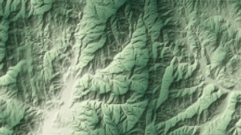
This is the official trailhead named for Baegunsan(pocheon), with a public transport planner to reach it. The numbers on the relief map at the top of the page match this list.
- Baegun valley car park (courses 3 to 5) 백운계곡 주차장 (3~5코스)
About Baegunsan(pocheon)
This Baegunsan stands on the border of Pocheon and Hwacheon, ringed by Gwangdeoksan, Gungmangbong and Bakdalbong. Its summit is earthy, but granite rocks and cliffs line the valley and ridge paths.
The Baegun valley, about 10 km long and one of the eight views of Yeongpyeong, is its glory: clear water past legendary rocks such as Chwiseondae, crowded in summer and bright in autumn. Heungnyongsa, said to be founded by Doseon, stands at the entrance.
Hwaaksan, the highest peak in Gyeonggi, links to it on the south-east.
Through the seasons
- Spring
- Fresh green on the slopes
- Summer
- Water through the valley
- Autumn
- Oak leaves thick on the ridge
- Winter
- Snow deep in the valley
Worth seeing
- Baegun Valley 백운계곡Ten kilometres of clear water.
- Heungnyongsa 흥룡사A Silla temple founded by Doseon.
Written from the Korea Forest Service guide 꼭 한번 가 볼 우리 100대 명산, p. 180.