
Mountain · Gyeonggi
Myeongjisan
명지산
Myeongjisan (1,252.3 m), Gapyeong: Gyeonggi’s second highest peak, with waterfalls, deep forest and a protected ecosystem.
Place details
- Region
- Gyeonggi
- Type of place
- Mountain
- Locality in the source
- 가평군
- Summit height
- 1,252.3 m summit altitude, Korea Forest Service guide p. 140
Getting there
2 official trailheads are listed below with a public transport planner: choose a trailhead, then start from your location or a station.
Trailheads you can reach by public transport
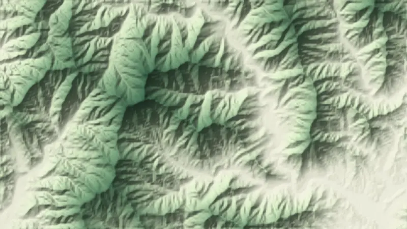
Myeongjisan has more than one way in. These are official trailheads named by the managing authority. Choose one for the way up and, if you cross the mountain, another for the way down. The numbers on the relief map at the top of the page match this list.
- Ikgeun-ri car park (course 1) 익근리주차장 (1코스)
- Baekdun-ri bus terminus (course 2) 백둔리 버스종점 (2코스)
About Myeongjisan
Myeongjisan in northern Gapyeong is the second highest mountain in Gyeonggi. With Cheonggyesan it has been an ecological landscape conservation area since 1993, and its insect life is among the richest in Korea after Hallasan and Jirisan.
Waterfalls and deep woods fill its valleys, and in autumn the colour among old trees and rocks is one of the eight views of Gapyeong. An ecology learning centre at the park entrance shows its rare plants and insects.
It was once called Maengjusan, the leader mountain, for standing above its neighbours like their chief.
Through the seasons
- Spring
- Over a kilometre of azaleas toward Ajaebi Pass
- Summer
- Deep, cool valleys
- Autumn
- Myeongjisan colour, one of Gapyeong’s eight views
- Winter
- Snow flowers at height
Worth seeing
- Myeongji Falls 명지폭포The mountain’s best-known waterfall.
- Seungcheonsa 승천사A temple near the start with an unusual Buddha.
Written from the Korea Forest Service guide 꼭 한번 가 볼 우리 100대 명산, p. 140.