
Mountain · Seoul / Gyeonggi
Dobongsan
도봉산
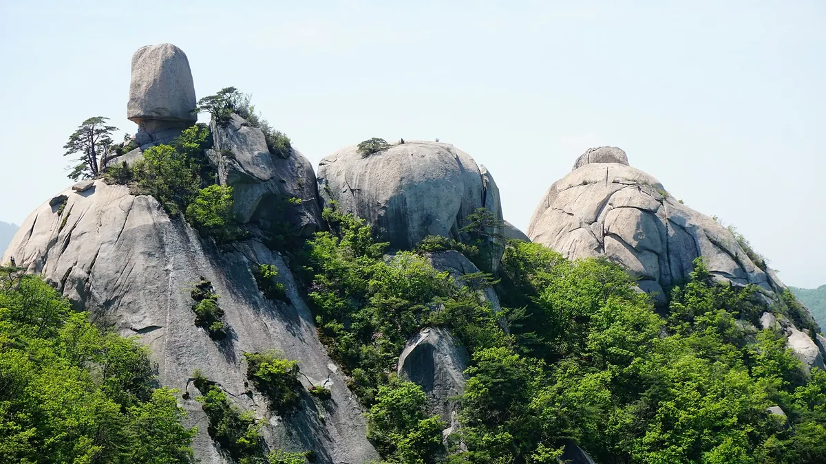
Dobongsan (740.2 m), Seoul: granite peaks and clear valleys in Bukhansan National Park, reached straight from the subway.
-
15 Nov – 15 Dec 2026
Autumn fire-season trail closures
The Korea National Park Service closes 148 trail sections in the national parks for the autumn wildfire season: 115 fully and 33 in part. Other trails stay open as usual. Check the closure list for your park before you set off.
Place details
- Type of place
- Mountain
- Locality in the source
- 도봉구 · 의정부시 · 양주시
- Summit height
- 740.2 m summit altitude, Korea Forest Service guide p. 114
Getting there
2 official trailheads are listed below with a public transport planner: choose a trailhead, then start from your location or a station.
Trailheads you can reach by public transport
Dobongsan has more than one way in. These are official trailheads named by the managing authority. Choose one for the way up and, if you cross the mountain, another for the way down.
- Dobong Visitor Center · by Gwangryunsa Temple 도봉탐방지원센터 · 광륜사 앞
- Wondobong Visitor Center 원도봉탐방지원센터
About Dobongsan
Dobongsan rises in north-east Seoul on the border with Uijeongbu and Yangju. With Bukhansan it forms Bukhansan National Park, which draws some five million visitors a year and is listed by Guinness as the most-visited national park for its size.
Its highest peak, Jaunbong, stands with Manjangbong and Seoninbong as great granite towers, with Obong to the west; valleys such as Mundong and Odobong run clear between them. Old poets called it peaks cut into the blue sky, and Seoul called it its own Diamond Mountains.
The name may come from the great rock (do, the way) that forms the whole mountain.
Through the seasons
- Spring
- Double cherry blossom at Sinseondae
- Summer
- Shade along the long valleys
- Autumn
- Seoninbong and Jaunbong in colour from the Darak ridge
- Winter
- Snow on the Podae ridge rocks
Worth seeing
- Jaunbong 자운봉The highest peak, a sculpture of granite.
- Seoninbong 선인봉A famous rock-climbing wall.
Written from the Korea Forest Service guide 꼭 한번 가 볼 우리 100대 명산, p. 114.