
Mountain · North Jeolla / South Gyeongsang
Deogyusan
덕유산
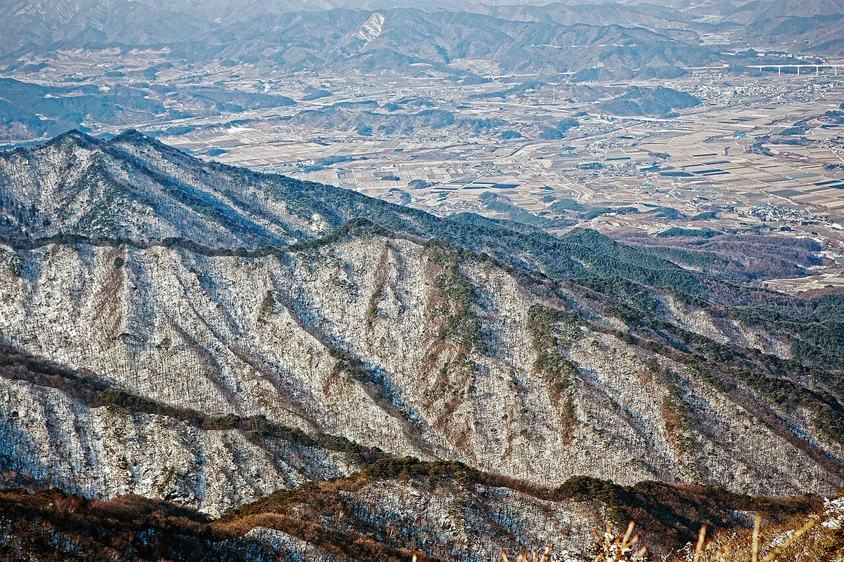
Deogyusan (1,614.2 m): South Korea’s fourth highest peak, with the 28 km Muju Gucheondong valley and yew groves on top.
-
15 Nov – 15 Dec 2026
Autumn fire-season trail closures
The Korea National Park Service closes 148 trail sections in the national parks for the autumn wildfire season: 115 fully and 33 in part. Other trails stay open as usual. Check the closure list for your park before you set off.
Place details
- Region
- North Jeolla · South Gyeongsang
- Type of place
- Mountain
- Locality in the source
- 무주군 · 장수군 · 거창군 · 함양군
- Summit height
- 1,614.2 m summit altitude, Korea Forest Service guide p. 102
Locate the place
Search by the Korean name and locality, then check the public entrance with the managing authority.
About Deogyusan
Deogyusan, in the middle of the Baekdudaegan, spans Muju, Jangsu, Geochang and Hamyang and has been a national park since 1975. It is the fourth highest mountain in South Korea and the source of both the Geum and Nakdong rivers.
Muju Gucheondong, its most famous valley, runs 28 km past the 33 views of Gucheondong: rock walls, rapids, pools and falls. Hyangjeokbong, the summit, has yew groves, a shelter and sunrise views over a sea of cloud.
Subalpine plants make it one of the most valuable high-mountain ecosystems in the south.
Through the seasons
- Spring
- Azaleas and daylilies on Hyangjeokbong
- Summer
- Water and rock in the valleys
- Autumn
- Baengnyeonsa in red
- Winter
- Sunrise and snow over the cloud sea
Worth seeing
- Najetongmun 나제통문A rock tunnel, first of the 33 views.
- Baengnyeonsa 백련사A temple from 830, 2.5 km below the summit.
Where the main trail starts
Gucheondong tourist information centre 구천동 관광안내소
A main route in the Forest Service guide begins here. Search the Korean name to plan your bus or taxi to the entrance.
Written from the Korea Forest Service guide 꼭 한번 가 볼 우리 100대 명산, p. 102.