
Mountain · South Jeolla
Gitdaebong
깃대봉
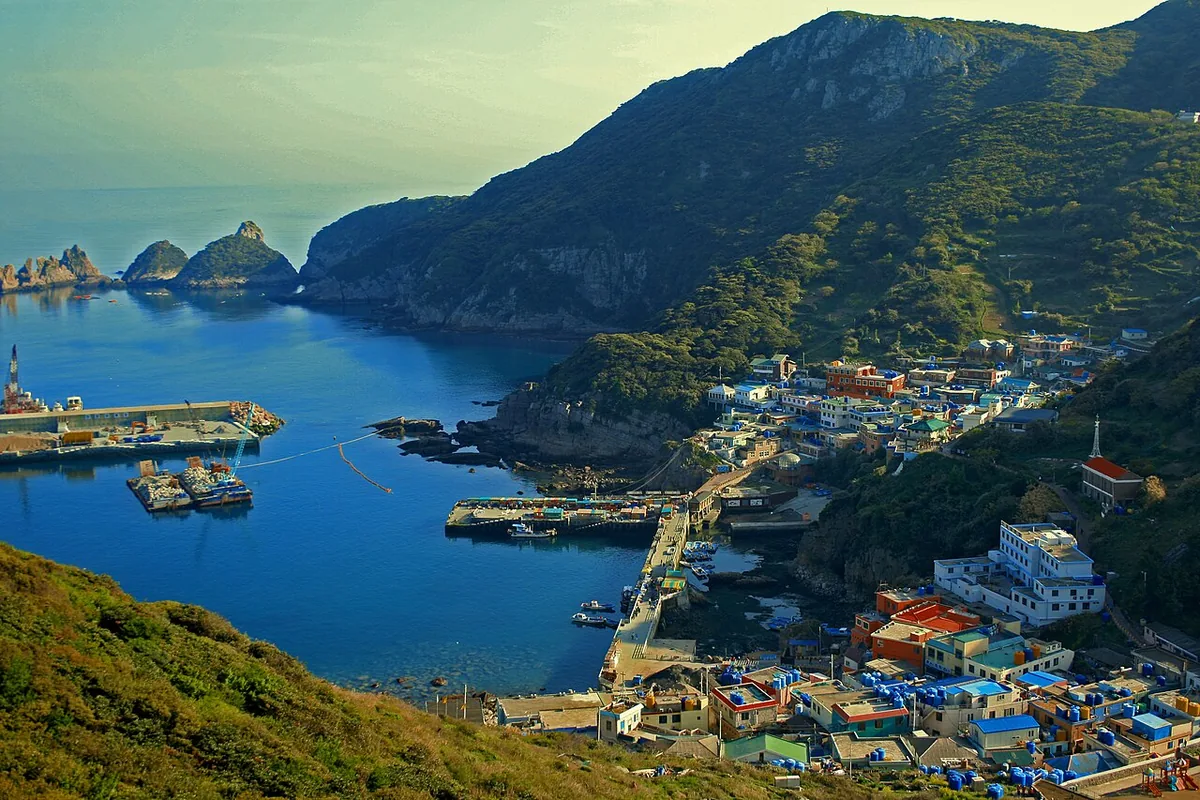
Gitdaebong (381.8 m), top of Hongdo island: a protected natural monument of camellia forest and sea views, 113 km off Mokpo.
-
15 Nov – 15 Dec 2026
Autumn fire-season trail closures
The Korea National Park Service closes 148 trail sections in the national parks for the autumn wildfire season: 115 fully and 33 in part. Other trails stay open as usual. Check the closure list for your park before you set off.
Place details
- Region
- South Jeolla
- Type of place
- Mountain
- Locality in the source
- 신안군
- Summit height
- 381.8 m summit altitude, Korea Forest Service guide p. 68
Locate the place
Search by the Korean name and locality, then check the public entrance with the managing authority.
About Gitdaebong
Gitdaebong is the highest point of Hongdo, a small island 113 km west of Mokpo in Dadohaehaesang National Park. The whole island and its islets have been a natural monument since 1965; not a stone or a blade of grass may be taken away.
Camellia, machilus and aucuba forests shelter some 500 rare plants. The climb, about 2.5 km from behind the island school, passes two viewpoints and old charcoal kilns; from the top Heuksando and Gageodo stand on the horizon.
The peak is named for its flagpole-shaped rock.
Through the seasons
- Spring
- Coast and forest at their freshest
- Summer
- The summit wrapped in sea mist
- Autumn
- Hongdo from the sunset viewpoint
- Winter
- Green forest paths even in midwinter
Worth seeing
- Dongnimmun Rock 독립문바위An arch, eighth of the Ten Views of Hongdo.
- Sunset viewpoint 일몰전망대Halfway up, facing the evening sea.
Where the main trail starts
Hongdo ferry terminal 홍도연안여객선터미널
A main route in the Forest Service guide begins here. Search the Korean name to plan your bus or taxi to the entrance.
Written from the Korea Forest Service guide 꼭 한번 가 볼 우리 100대 명산, p. 68.