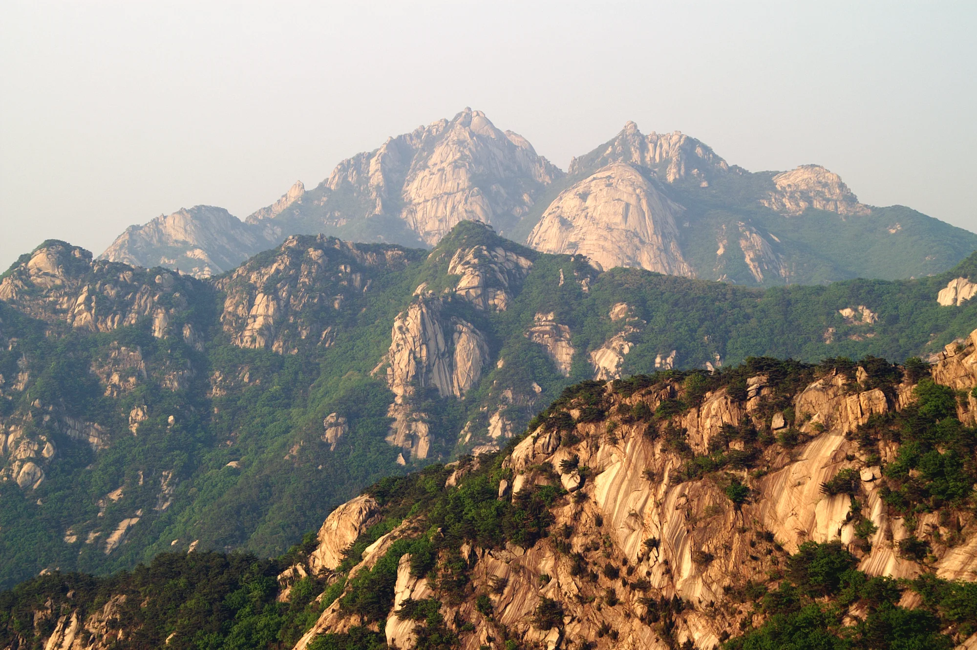
A short but steep summit approach from the Baegun Visitor Center, climbing through Harujae to Baegundae. The final rocks demand more than the distance suggests.
The walk, at a glance.
1.9 km · one way
Out and back · outward leg shown
From Baegun Visitor Center, near Doseonsa
To Baegundae summit · return separately
What the terrain asks of you.
- Rocky ground
- Stone and wooden steps
- Steep final ascent
- Handrail sections
Along the way.
- 01
Baegun Visitor Center
The official measured trail begins here.
- 02
Harujae
A pass before the rockier upper sections.
- 03
Baegunbongammun
The fortress gate below the final summit approach.
- 04
Baegundae
Plan your descent with enough daylight; turn back earlier if conditions deteriorate.
Getting to the start.
- Start your transport planning at Bukhansan Ui Station on the Ui–Sinseol Line, Exit 2.
- The trail measurement starts at the Baegun Visitor Center near Doseonsa, not at the station. Allow separately for the approach and return.
Before you set off.
- Read KNPS closure and entry-time notices before setting out.
- Expect narrow, steep rocks near the summit and possible queues. Plan the descent before daylight runs out.
- Stay on the designated trail; winter ice requires appropriate equipment.
These are planning notes, not a live opening report. Check the managing authority, weather and return transport immediately before your walk. Source review: 27 October 2026.
Baegundae summit altitude · Visit Seoul figure; not ascent: 836.5 m. This is altitude above sea level, not the cumulative ascent of this route.